Predicting River Floods in New England

MES/CEE Associate Professor Samuel Muñoz is using satellite imagery and AI to develop a predictive model for river flooding in New England.
This article originally appeared on Northeastern Global News. It was published by Cynthia McCormick Hibbert. Main photo: A small tractor clears water from a business as flood waters block a street, Wednesday, July 12, 2023, in Barre, Vt. Following a storm that dumped nearly two months of rain in two days, Vermonters are cleaning up from the deluge of water. AP Photo/Charles Krupa
A professor at Northeastern University hopes his team’s research will build lead time into warnings about river flooding in New England, such as the one that devastated Vermont this month.
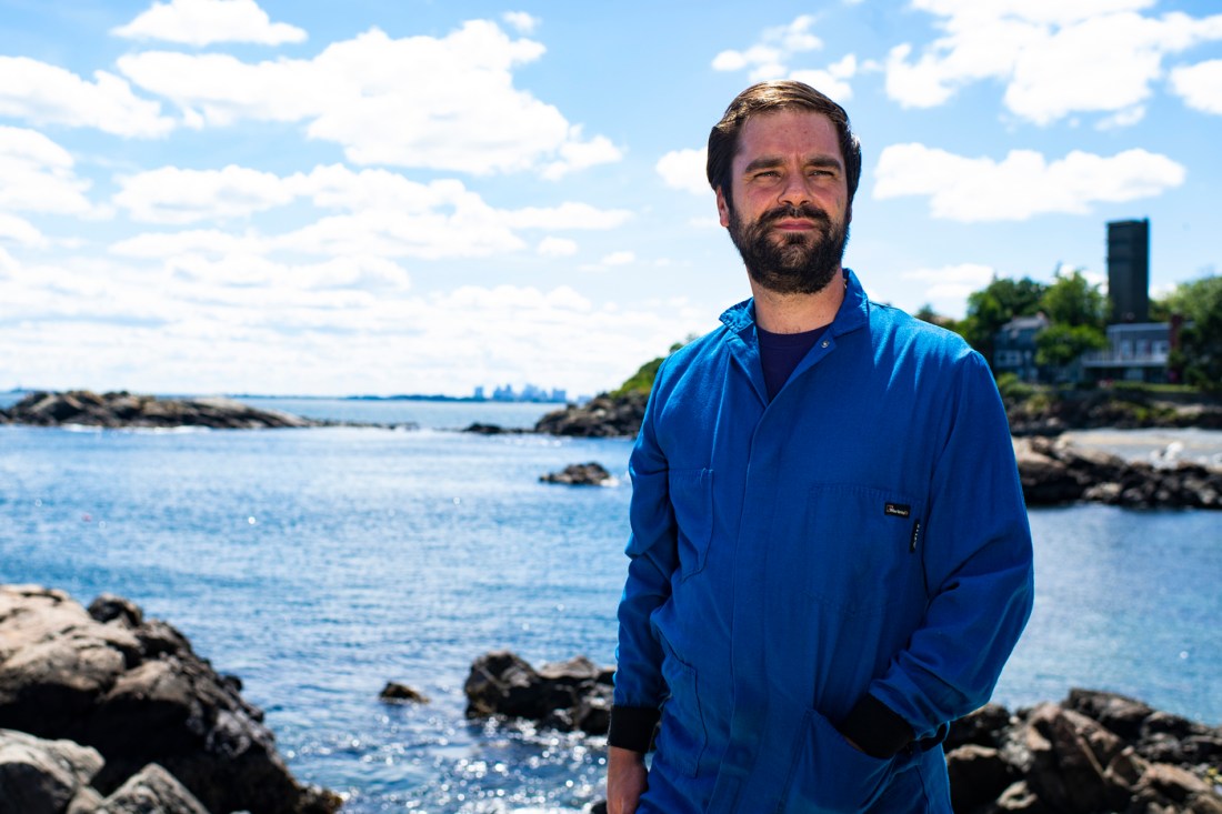
Samuel Munoz, Associate Professor in the Department of Marine &Environmental Sciences. Photo by Alyssa Stone/Northeastern University
The stakes are high, says Samuel Munoz, an associate professor at Northeastern’s Coastal Sustainability Institute in Nahant, Massachusetts.
President Joe Biden declared Vermont a major disaster after July 7-12 floods washed out roads, damaged houses, businesses and farm fields and drowned a 63-year-old Barre man in his home.
Vermonters only had an advance warning of a day or two, Munoz says. “There was no sense of a high risk,” he says.
A grant from the Water Resources Research Center is funding a study by Munoz and Northeastern graduate student Lindsay Lawrence on understanding how climate change and variability are influencing river flooding in New England.
“We’re trying to look for signals” that could give managers and officials more time to prepare for flash and other floods by setting up road barriers, piling up sandbags or releasing water from dammed reservoirs in danger of overflowing, Munoz says.
The New England difference
He says New England differs from other parts of the country, where water temperatures and weather patterns from the Pacific Ocean—such as the currently active El Nino system—give scientists a sense of whether flooding risk will be high or low in a given year.
“It’s super useful (information),” says Munoz, whose paper showing that El Nino increases the risk of lower Mississippi River flooding was published in the journal Nature in 2017.
Developing a predictive model for New England presents additional challenges, because the states from Rhode Island to Maine do not appear to be directly affected by the atmospheric conditions related to El Nino, he says.
“It’s not as straightforward for New England,” Munoz says. El Nino’s “effect doesn’t seem to carry all the way across the continent” as far as flood prediction is concerned.
Better predictive tools
“People have studied floods and droughts in New England before, but a lot of the work was done in the 1990s,” before today’s more sophisticated imaging was available, Munoz says.
His team is using satellite imagery and remote sensing to collect data on atmospheric conditions relating to river flooding and plans to use AI and machine learning to discern patterns.
“We’re trying to apply new tools to come up with better answers,” Munoz says.
Read full story at Northeastern Global News