Working With Communities To Reduce Flood Risk

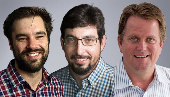
MES/CEE Associate Professor Samuel Muñoz, Assistant Professor James Dennedy-Frank, and CEE Affiliated Faculty Geoffrey C. Trussell were awarded a $998,696 NSF grant for “Working with communities to reduce flood risk and increase resilience.”
Abstract Source: NSF
This project will evaluate how communities have responded to recent floods and provide new tools to help those communities build resiliency to flooding hazards. River flooding costs the United States nearly $500 billion each year due to damaged infrastructure and disrupted businesses and lives. These costs continue to rise due to growing populations in flood-prone areas, sea-level rise, and stronger precipitation events. Yet, scientists still struggle to predict how floods will impact communities, and how best to communicate those findings to community leaders and stakeholders to guide decision making. To address these issues, the researchers will collaborate with community partners to evaluate and communicate changes in flood hazards. The project will bring community knowledge together with earth system observations and simulations to understand what drives flooding at the local scale, and how flood hazards evolve under different scenarios. The researchers will examine how communities have responded to recent floods and use that information to inform planning needs for future flood events. Working with community members, the research team will co-develop a public facing decision-support tool. The tool will help communities define and visualize local conditions under different community-defined scenarios.
The project will enhance the resilience of floodplain communities by increasing understanding of the causes and projections of riverine flooding at the local level. Researchers will work with community members to ensure the results address long-standing issues around uncertainty, social trust, and stakeholder utility. The approach leverages both community-level knowledge of flood hazards along with state-of-the-art tools in earth system science to address long-standing shortcomings of traditional flood hazard assessments. By including community members throughout the process, the framework ensures that science outcomes directly address local needs. The project will provide leading-edge flood inundation projections and visualizations to municipal decision makers to enhance resilience planning decisions. From an earth system science perspective, the proposed research addresses critical uncertainties in how riverine flood hazards are changing and will continue to evolve at local (municipal) scales, where community efforts to enhance resilience are hampered by shortcomings in traditional approaches to flood hazard assessment. The proposed community-oriented approach will be transferable to other communities concerned with changing flood hazards.